

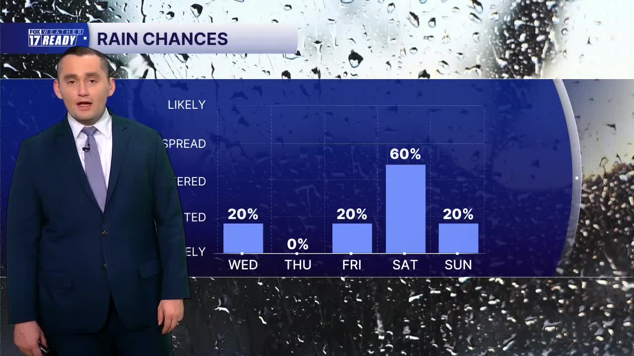



WEST MICHIGAN — The forecast from FOX 17 Weather Ready Meteorologist Colton Cichoracki: A cold front will continue to move through West Michigan tonight. Some areas have seen some very impressive rainfall with totals of more than 3 inches (especially in the Muskegon area). The storms with this front will continue to move through into the early morning hours but it should be out of here by daybreak Wednesday. The rest of the day will then be very nice with decreasing clouds and highs in the upper 70s and lower 80s. The rest of the week is then pretty quiet with nice Summer weather with temps in the 70s and 80s. Our next storm system is set to arrive later Friday into Saturday with more showers and storms.
OVERNIGHT: Scattered storms, some strong/severe, through around midnight. Lows in the mid 60s. Wind: SW/NW 5 - 10 mph.
WEDNESDAY: Chance early A.M. showers, then turning partly cloudy. Highs in the upper 70s.
THURSDAY: Partly cloudy with highs around 80.
FRIDAY: Mostly sunny with highs around 80.
SATURDAY: Chance thunderstorms, partly cloudy with highs in the upper 70s.
SUNDAY: Stray shower early, partly cloudy with highs in the upper 70s.
MONDAY: Partly cloudy and cooler. Highs in the upper 70s.
TUESDAY: Partly cloudy with highs in the upper 70s.
Want alerts when inconvenient or severe weather is headed your way? Download the FOX 17 Weather app and set up notifications for where you live.
For the latest details on the weather in West Michigan, head to the FOX 17 Weather page.
Follow FOX 17: Facebook - X (formerly Twitter) - Instagram - YouTube
