

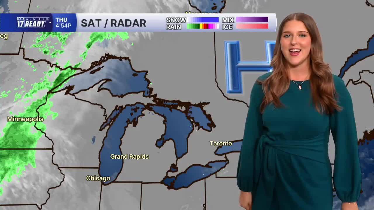


WEST MICHIGAN — The forecast from Weather Ready Meteorologist Colton Cichoracki: A beautiful stretch of weather will continue in West Michigan through this weekend and into early next week. Friday will start mostly cloudy because of a weak system moving through. This will not have rain with it and more sunshine is expected through the later half of the day as clouds thin out. Highs will reach into the upper 60s with light winds. Friday night football is looking nice and dry, you just may want to bring a light jacket as temperatures will start to drop by late evening. We will enjoy mostly sunny skies both Saturday and Sunday with highs around 70... we really couldn't ask for a better fall weekend! Dry days continue into early next week with slightly warmer temperatures in the lower 70s Monday and Tuesday. Our next storm system moves in with rain Tuesday night into Wednesday, knocking temperatures back into the upper 60s.
TONIGHT: Partly to mostly cloudy. Lows in the mid/upper 40s. Wind E/SE at 5 mph.
FRIDAY: Morning clouds give way to afternoon sun. Highs in the upper 60s. Wind E/NE at 5-10 mph.
SATURDAY: Sunny with highs around 70 and light winds.
SUNDAY: Mostly sunny with highs around 70 and light winds.
MONDAY: Mostly sunny with highs in the lower 70s.
TUESDAY: Partly cloudy with highs in the lower 70s.
WEDNESDAY: Rain likely with highs in the upper 60s.
THURSDAY: Mostly cloudy with chance showers. Highs in the upper 60s.
Want alerts when inconvenient or severe weather is headed your way? Download the FOX 17 Weather app and set up notifications for where you live.
For the latest details on the weather in West Michigan, head to the FOX 17 Weather page.
Follow FOX 17: Facebook - X (formerly Twitter) - Instagram - YouTube
