

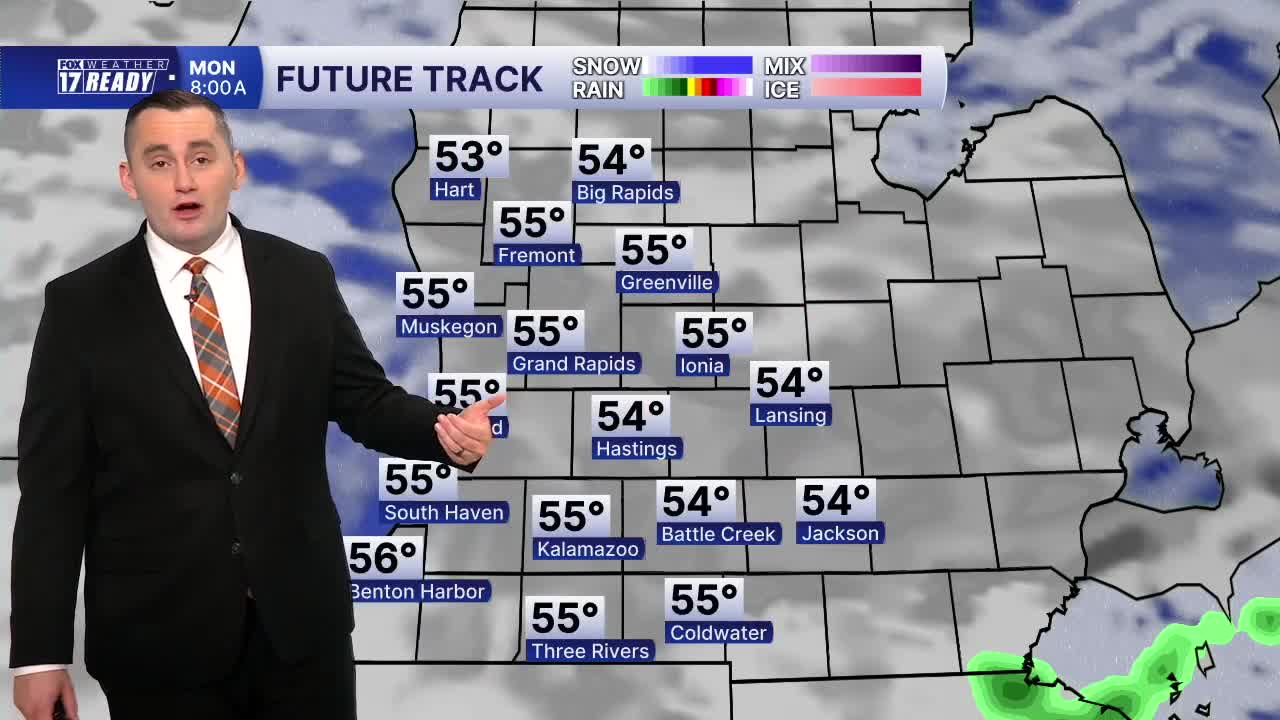


WEST MICHIGAN — The forecast from Weather Ready Meteorologist Colton Cichoracki: It has been a soggy weekend to say the least around West Michigan. Many areas south of I-96 saw between 2-3 inches of rain. This rain will gradually wrap up Sunday evening and drier weather is on the way. Overnight, the rain ends before midnight but the sky will stay mostly cloudy. Lows are going to be in the 50s. On Monday, another cool and breezy day is coming. A few breaks in the clouds are possible as temperatures only rise into the lower 60s during the afternoon. Temperatures for the rest of the week will largely be in the 60s but a slight warming trend is expected by the weekend when we may get back to the 70s. No big rains are on the way any time soon.
TONIGHT: Mostly cloudy and breezy. Lows in the low 50s. Wind: NE 10-15 with higher gusts.
MONDAY: Mostly cloudy with an isolated shower possible south. Highs in the low to mid 60s.
TUESDAY: Mostly cloudy. Highs in the mid 60s. Fall officially begins at 8:05 p.m.
WEDNESDAY: Partly cloudy. Highs in the mid/upper 60s.
THURSDAY: Mostly sunny with highs in the upper 60s.
FRIDAY: Mostly sunny with highs in the upper 60s.
SATURDAY: Mostly sunny with highs in the upper 60s.
SUNDAY: Mostly sunny with highs near 70 degrees.
Want alerts when inconvenient or severe weather is headed your way? Download the FOX 17 Weather app and set up notifications for where you live.
For the latest details on the weather in West Michigan, head to the FOX 17 Weather page.
Follow FOX 17: Facebook - X (formerly Twitter) - Instagram - YouTube
