




WEST MICHIGAN — The forecast from FOX 17 Weather Ready Meteorologist Gracyn Freund:
It will be a really nice evening for outdoor plans with sunshine, low humidity, and temperatures falling through the 70s. We stay quiet tonight under a partly cloudy sky, as temperatures fall to around 60.
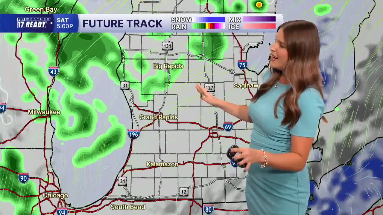
Temperatures will warm up this weekend along with an increase in humidity as a heat dome builds to our south. We will be in the lower 80s on Saturday and middle 80s on Sunday. We will stay dry through much of the weekend, but a few spotty showers will be possible Saturday afternoon and evening. Another round of scattered showers, which could include heavy downpours and rumbles of thunder, will be likely early Sunday. More unsettled weather returns heading into next week with rain and storm chances Monday, Tuesday, and Wednesday. These will not be washout days, but there is a good chance each day of rain with the potential for heavy downpours and brief gusty winds at times. Summer-like temperatures will continue too. Monday and Tuesday will be the hottest days in the mid/upper 80s, but high humidity will likely push heat index values into the 90s! Temperatures will remain in the low to middle 80s through the rest of the week, so looks like we'll have to keep the A/Cs running.
TONIGHT: Partly cloudy with lows in the upper 50s/lower 60s. Wind S at 5-10 mph.
SATURDAY: Partly cloudy turning mostly cloudy with chance few late P.M. showers. Highs in the lower 80s and a bit humid. Wind SW at 10-15 mph.
SUNDAY: Cloudy with A.M. scattered showers/storms, then turning partly cloudy. Highs in the middle 80s and humid.
MONDAY: Mostly cloudy with chance showers/storms. Highs in the upper 80s and humid.
TUESDAY: Mostly cloudy with chance showers/storms. Highs in the upper 80s and very humid.
WEDNESDAY: Mostly cloudy with chance showers/storms. Highs in the mid 80s.
THURSDAY: Partly cloudy with highs in the mid 80s.
FRIDAY: Chance A.M. showers, otherwise partly cloudy with highs in the low 80s.
Want alerts when inconvenient or severe weather is headed your way? Download the FOX 17 Weather app and set up notifications for where you live.
For the latest details on the weather in West Michigan, head to the FOX 17 Weather page.
Follow FOX 17: Facebook - X (formerly Twitter) - Instagram - YouTube
