

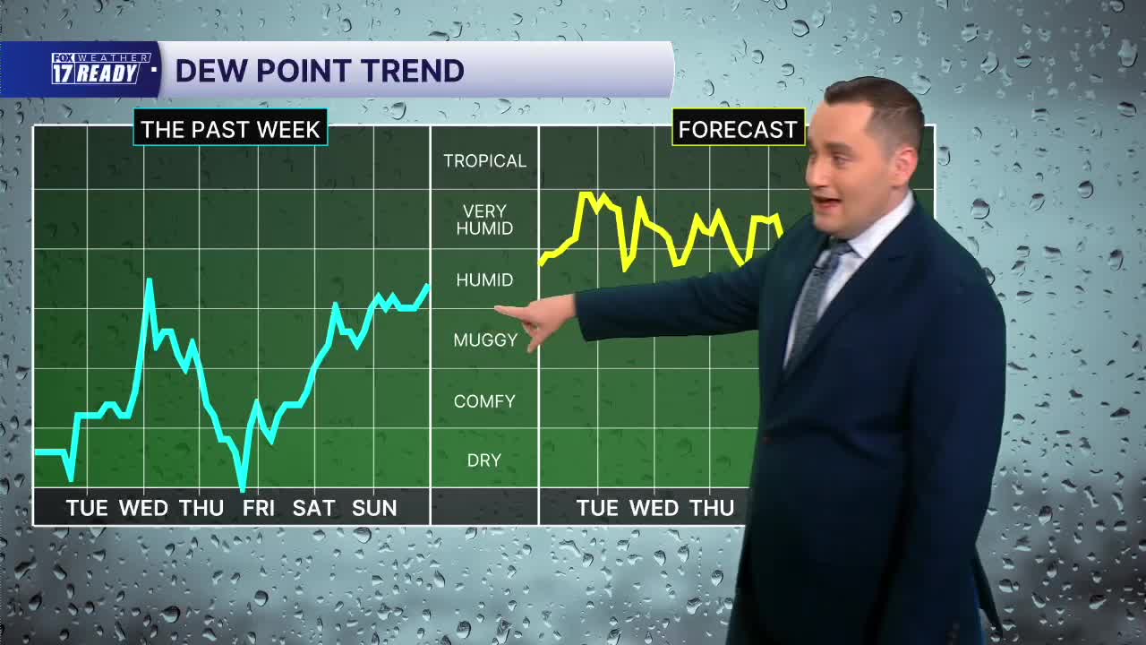


WEST MICHIGAN — The forecast from FOX 17 Weather Ready Meteorologist Colton Cichoracki: A very warm and humid stretch of weather is on the way for the next few days. There will also be some storm chances in the mix as well. For Monday night, a stray shower or storm is possible early with drier conditions later tonight. It will be warm and muggy with lows in the lower 70s. The worst of the heat and humidity comes Tuesday and Wednesday with highs in the upper 80s to 90 degrees, with heat indices near 95 at times. In addition to this high heat, there is a small chance for some showers and storms both days. If any storms do develop, these storms could be strong. The Storm Prediction Center has a level one marginal risk for severe weather both days. Gusty winds would be the main threat. It does look like some of the heat will break by Wednesday but high humidity levels will stick around for a few more days. It will not be until this holiday weekend that the weather pattern improves.
TONIGHT: Mostly cloudy, warm and humid. Chance stray shower. Lows in the low 70s. Wind: SW 5 mph
TUESDAY: Partly cloudy with chance isolated showers/storms, a few severe storms possible. Highs in the upper 80s, feels like low 90s.
WEDNESDAY: Partly cloudy with chance showers/storms. A few severe storms possible. Highs in the upper 80s, feels like mid 90s.
THURSDAY: Mostly cloudy with chance showers/storms. Highs in the mid 80s and humid.
FRIDAY: Chance morning rain/storms. Partly cloudy with highs in the low 80s.
SATURDAY: Chance morning rain/storms. Partly cloudy with highs in the low 80s.
SUNDAY: Partly cloudy. Highs in the low 80s.
LABOR DAY: Partly cloudy with a high near 80 degrees.
Want alerts when inconvenient or severe weather is headed your way? Download the FOX 17 Weather app and set up notifications for where you live.
For the latest details on the weather in West Michigan, head to the FOX 17 Weather page.
Follow FOX 17: Facebook - X (formerly Twitter) - Instagram - YouTube
