

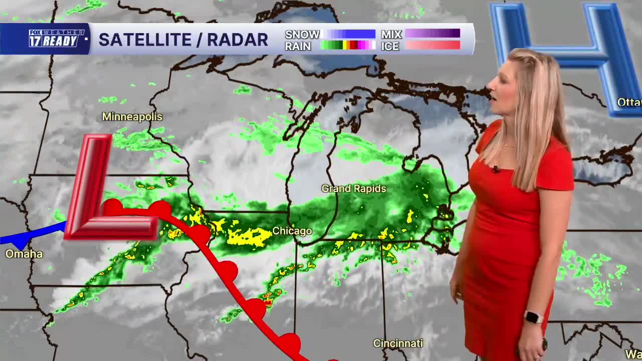



WEST MICHIGAN — The forecast from Weather Ready Meteorologist Kara James: Today will not be a great day for outdoor plans due to repeated rounds of rain. It will also be cool and breezy, with highs in the low 60s and wind gusts up to 20 mph. There could be a brief rain break in the early afternoon before the second round of rain moves in during the evening, but it will be raining for a majority of the day. The heaviest rain will fall south of I-96 where there is a Flood Watch for Allegan, Barry, Van Buren, Kalamazoo, Calhoun, Berrien, Cass, St. Joseph, and Branch counties through tomorrow morning. Another round of rain will move in tonight, continuing into tomorrow morning. The later half of Sunday is trending mainly dry. Rain totals could be 2-4" in spots, leading to some ponding on the roads and street flooding. It will be much cooler this weekend with highs only in the 60s. Clouds and slight chances for showers linger through most of next week as an upper low sits over the Great Lakes. Temperatures will stay in the 60s... just in time for the start of Fall on Tuesday!
TODAY: Rounds of rain and a few thunderstorms. Highs in the low/mid 60s. Breezy, Wind E/SE at 10-15 mph.
TONIGHT: Heavy rain and thunderstorms, especially south. Brief flooding possible. Lows in the upper 50s.
SUNDAY: Morning rain, then becoming mostly cloudy. Highs in the mid/upper 60s.
MONDAY: Mostly cloudy with an isolated shower possible. Highs in the lower 60s.
TUESDAY: Mostly cloudy with chance of a stray shower. Highs in the low 60s. First day of Fall!
WEDNESDAY: Scattered showers. Highs in the mid 60s.
THURSDAY: Mostly cloudy with highs in the upper 60s.
FRIDAY: Partly cloudy with highs around 70.
Want alerts when inconvenient or severe weather is headed your way? Download the FOX 17 Weather app and set up notifications for where you live.
For the latest details on the weather in West Michigan, head to the FOX 17 Weather page.
Follow FOX 17: Facebook - X (formerly Twitter) - Instagram - YouTube
