

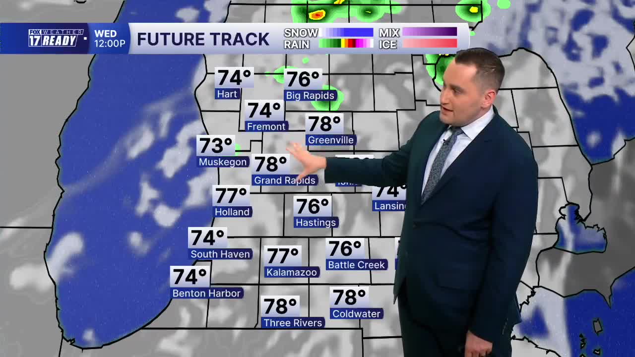


WEST MICHIGAN — The forecast from FOX 17 Weather Ready Meteorologist Colton Cichoracki: West Michigan has enjoyed a beautiful stretch of nice weather as of late but all good things must come to an end. Our next storm system is forecast to come in on Wednesday and with it some showers and storms are possible. Starting with tonight, it will be warmer with lows in the low 60s. We will stay dry overnight except for a sprinkles near the lakeshore closer to dawn. A cold front will will lead to scattered showers and storms in the afternoon and evening on Wednesday. Some of these storms could be strong to briefly severe, and the Storm Prediction Center has West Michigan included in a Marginal Risk (level 1 out of 5) for isolated severe storms, and areas around and south of I-94 in a Slight Risk (Level 2 out of 5). The main threats are damaging winds and hail. This storm chance diminishes Wednesday night and we will be dry for the rest of the work week. More unsettled weather is possible into next week.
TONIGHT: Partly to mostly cloudy with a few isolated showers in the early morning. Lows in the low 60s. Light and variable wind.
WEDNESDAY: Partly cloudy with P.M. scattered showers/storms. Some could be strong/severe. Highs around 80.
THURSDAY: Partly cloudy and breezy. Highs in the low 80s.
FRIDAY: Mostly sunny with highs near 80.
SATURDAY: Partly cloudy with highs around 80. Chance isolated showers/storms late.
SUNDAY: Mostly cloudy. Highs in the mid 80s.
MONDAY: Partly cloudy with chance showers. Highs in the low 80s.
TUESDAY: Partly cloudy with chance storms. Highs in the low 80s.
Want alerts when inconvenient or severe weather is headed your way? Download the FOX 17 Weather app and set up notifications for where you live.
For the latest details on the weather in West Michigan, head to the FOX 17 Weather page.
Follow FOX 17: Facebook - X (formerly Twitter) - Instagram - YouTube
